New Year Mountain Light

Revisiting some images of past travels, and enjoying the light in the mountains. Let’s start with a little visited park in southwest Wyoming. Fossil Butte National Monument was established to protect the abundant fossils that formed in and around this once inland freshwater lake about 50 million years ago. The visitor center displays an extraordinary collection of these fossils. Outside, the high, sagebrush desert is surrounded by distant mountains. Then a beam of light broke through the clouds.

beam of golden light illuminates the rolling hills of sagebrush desert at fossil butte national monument wyoming

Fossil Butte National Monument, Wyoming

About 400 miles south near the Arizona border is Utah’s Coral Pink Sand Dunes State Park. Unfortunately, ATVs have free run over the dunes, but careful angles can obscure most of their tracks.

sunset over the rolling pink sand dunes with distant golden mountains

Coral Pink Sand Dunes State Park, Utah

Much further east atop Clingman’s Dome in Great Smoky Mountains National Park on the border of North Carolina and Tennessee you can view the Appalachians receding into the distance at dusk.

Great Smoky Mountains National Park, North Carolina and Tennessee

Back west for a view of a meteor slicing through the Milky Way above a moonlit Zion National Park in Utah. Hope 2023 brings you peace and beauty.

Zion National Park, Utah

"Night unto night whispers knowledge"

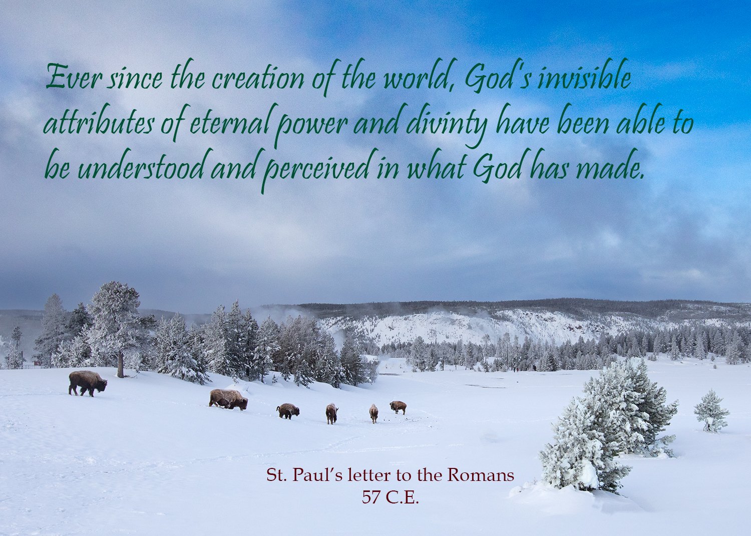
We approach the longest night of the year. In my church, we call these weeks before Christmas the season of Advent. The book of Genesis begins in darkness, but soon there is light and God declares creation very good. Jews and Christians and people of many faiths find God revealed in that creation.

Winter snow on trees, foggy lake yellowstone, lone pine tree, hot spring, text quoting Psalm 19, Yellowstone National Park, West Thumb geyser basin

West Thumb Geyser Basin and Lake Yellowstone

A millennium later, Paul wrote to the Christian community in Rome that understanding God begins by experiencing that creation.

Upper Geyser Basin, Yellowstone National Park

Twelve hundred years later Eckhart von Hochheim was born in what is now Germany. He became a professor of theology and philosophy in Paris and Cologne, but his mystic practices and contemplation informed his teachings. Like David and Paul, he found God in that which surrounded him.

young big horn sheep running downhill in snow and rock, national elk refuge, jackson wyoming, quote of meister eckhart god in all things

Young Bighorn sheep, National Elk Refuge, Jackson, Wyoming

Panthers and Cypress

Panther Den is a small wilderness area in Shawnee National Forest in southern Illinois. The River-to-River trail which extends between the Ohio and Mississippi Rivers passes through the wilderness.

River-to-River Trail, Shawnee National Forest, Illinois

The highlight of a visit here is the Panther Den rock formation where you can wander among a maze of sandstone cliffs.

Panther Den Wilderness, Shawnee National Forest

Last week, I posted about Cache River State Natural Area. A ranger there suggested a few trails in nearby Cypress Creek National Wildlife Refuge which follows along the Cache River as it flows into the Mississippi. We tried Limekiln Springs trail one morning just as it was getting light.

hiking, trial, hiking with dog, cache river state natural area, illinois, fog, man with dog

Limekiln Springs Trail, Cypress Creek National Wildlife Refuge

Chance and I were enjoying the trail when he uncharacteristically began barking fiercely. I followed his eyes up to the camouflaged man hanging in the tree who I otherwise never would’ve seen. I understood his need to bark at such a strange sight, but apologized to the hunter whose pre-dawn climb to stalk deer was spoiled.

We continued along the Limekiln Slough which normally would be under water, but the dry conditions let us explore more among the cypress.

Limekiln Slough, Cypress Creek National Wildlife Refuge

Some beautiful shelf or bracket fungus decorated a branch that had fallen on the trail.

shelf mushroom, shelf fungi, bracket fungus, basidiomycete, shelflike sporophores, spore-producing organs, black and white, leaves

Bracket fungus

The trail went away from the slough up into the hardwood forest that still had some autumn color. The rising sun shown through leaves as we searched for a different route back to the car that would not disturb the hunter.

Autumn on Limekiln Springs Trail

Cache River

The southernmost tip of Illinois is like a trip to the bayous of Louisiana.

Section 8 woods

I posted an image in Tuesday’s blog of the Mississippi River, which is not far away, showing the record low level of the water. This area, as you can somewhat see by the dark lines on the tree trunks, is usually below water. But the extremely low water levels allowed me to walk through the area.

There were remnants of water that you needed to avoid getting too close to so you don’t sink into the muck.

Section 8 Woods, Cache River Natural Area

The rich bottomlands contain many of the state champion trees—that is, the largest of the species in the state. Not far from here is the champion bald cypress. These huge trees with their swollen bases are hundreds of years old.

Big Cypress Access trail

A ranger suggested a trail named Marshall Ridge Access that led through some nice color or tall oak trees.

Marshall Ridge Access

The ranger said the trail end circles a wetland and that there might still be some late sunflowers in bloom even in November. She was right.

Marshall Ridge Access, Cache River Natural Area

The area was created by a glacial area overflow of the Ohio River. When that river settled into its current track, this wetland was left behind. Much of the area along the Cache River is protected by the state Cache River State Natural Area and the Cypress Creek National Wildlife Refuge. Probably the best way to explore is by canoe or boat, but fortunately a few trails provide views into the river area. Some fall color on the cypress and tupelo provide a nice end to this trail.

Lower Cache River Access

Autumn hiking at Bell Smith Springs

Shortly after passing a cemetery in the forest on Halloween, Chance and I pulled into Red Bud campground in the Bell Smith Springs Recreation Area in Shawnee National Forest in Southern Illinois. We hoped daylight would show some autumn colors on the trails.

misty morning sunrise in autumn leaves on the forest floor with sunbeams and a distant river

Bay Creek, Bell Smith Springs

When dawn came, we found most leaves were on the ground, but spots of yellow remained on some trees. We headed down a trail that was the first one Chance and I explored together shortly after we adopted him in 2020. He had great fun exploring the smells under all the leaves. And it seemed X marked the spot.

Golden autumn leaves glow in a thin tree forest with fallen trees marking an X on a hill

White trail, Bell Smith Springs

A surprising delight came from under the leaves. Looking where there was some rustling in the leaves was a sight I hadn’t seen growing up in Florida. My friend Ken and I would head out into the woods to go “snake hunting.” Sometimes we’d actually find a snake, but it’d be just as exciting if we’d find a blue-tailed skink

Blue-tailed skink on rock by fall leaves. Plestiodon fasciatus five-lined skink.

Blue-tailed Skink

A highlight of this trail is a feature called the Devil’s Backbone. Some large hunks of sandstone have fallen off the cliffs into the water.

sandstone boulders reflected in the water seen threw branches with autumn leaves

Autumn color in Shawnee National Forest

Though the water was low, it still provided nice reflections and a nice end for an autumn hike.

Devil's Backbone sandstone boulders reflected in the water at Shawnee National Forest Southern Illinois

Devil’s Backbone, Bell Smith Springs

Whooper of a time at Horicon Marsh

About an hour north of Milwaukee is one of the country’s largest fresh water marshes. The northern two-thirds is managed by the U.S. Fish and Wildlife Service and the southern portion by the Wisconsin Department of Natural Resources.

The marsh, of course, is filled with waterbirds and shorebirds such as this Greater Yellow Legs.

And one of the most handsome ducks—the Northern Pintail.

Then there’s the amusing American Coot. These fellows often battle for territory. These two took a break in the fight for possession of the tiny floating log to pose for a picture and show off their marvelous feet.

This fellow is a mystery to me. Green-winged Teals are common larger ducks and Cinnamon Teals are rare smaller ducks. Of course, this time of year, they are not in breeding plumage which would make the ID easy. This tiny guy could be a young Green-Winged Teal, but it’s very late in the year to be this small. Is it a rare Cinnamon?

My favorite birds, Sandhill Cranes were throughout the marsh and some took flight practicing for their trip south very soon.

The star of the visit was seeing one of the rarest birds in the world. Once nearly extinct, the Whooping Crane is up to nearly 80. Most have been captive bred and released but are starting to breed in the wild. I’d seen one years ago a couple hundred yards away among a flock of Sandhills. It was easy to pick out the bright white, much larger bird among the gray-brown Sandhills.

There’s a floating boardwalk on the north end of the marsh, and a short walk out brought a view of this pair less than a hundred feet away. I donate to the International Crane Foundation which is a bit west of here near Baraboo, Wisconsin where the major breeding and releasing effort occurs. It was a marvelous surprise to find this pair in the marsh.

A Kettle of Color

The Northern Unit of Kettle Moraine State Forest sits about an hour north of Milwaukee. Begun with about 850 acres in 1936, this unit of the state forest is now about 30,000 acres. In October it lights up with autumn colors.

Moraines are the ridges of sand, silt and boulders left behind as glaciers retreated and melted. The moraines at Kettle Moraine rise 250 to 300 feet. They were so large here because two lobes of the last glaciation met here. What is now the Door County Peninsula stuck up above the glacier and split it into two lobes—the Green Bay lobe to the west and the Lake Michigan lobe to the east—and then they later pressed back together here.

The last major glaciation across the world which ended about 20,000 years ago left so many major effects across the state that it is named the Wisconsin Glaciation. The National Park Service administers the 1,200 mile National Ice Age Trail across the state. About 700 miles are currently protected through national, state and private lands, and Congress authorizes annual funds to purchase rights to complete the trail.

Other glacial features in Kettle Moraine include conical hills that were deposits of sand left by streams that cut through holes in the glacier and eskers which were deposited by streams that ran below glaciers.

The other namesake feature of the forest are kettles. Sometimes huge chucks of ice would break off the glacier and then get covered by sand and dirt. When the ice eventually melted huge depressions—or kettles—were left behind.

The National Park Service also administers the Ice Age Scientific Reserve which consists of nine locations in the state that preserve geological evidence of glaciation. In addition to the Northern Unit of Kettle Moraine State Forest, the Reserve also includes Horicon Marsh State Wildlife Area. I’ll post some images from there next week.

This unit of Kettle Moraine State Forest protects the origins of the Milwaukee River. The State Forest protects waters and provides recreation on the waters including fishing and canoeing.

"Even the rocks . . . thrill with memories of past events"

A few months ago I posted some images from Colorado National Monument. Today, I wanted to process some images in black and white, and decided to return to Colorado. I can’t think of another place I’ve had such a short visit and captured so many images that I like. It only took a couple hours to drive the 23 mile Rim Rock Road in the Monument, but the conditions for photos were great.

View to Grand Junction, Colorado

In 1854 the Suquamish and Duwamish people who lived around Puget Sound were negotiating a treaty with the Governor of Washington Territory. Chief Seattle’s speech during those negotiations was translated into a trade language and attempts have been made to translate it into English. This version was created by Vi Hilbert in 1985, and is published in When the Light of World was Subdued, Our Songs Came Through, Joy Harjo, editor, 2020. Here are some excerpts.

Coke Ovens formation, Colorado National Monument

“Our religion is the tradition of our ancestors, the dreams of our old men, given to them in the solemn hours of the night by the great spirit and the visions of our leaders, and it is written in the hearts of our people.”

La Sal Mountains

“Your dead cease to love you and the land of their nativity as soon as they pass the portals of the tomb; they wander far away beyond the stars and are soon forgotten and never return. Our dead never forget this beautiful world that gave them being. They always love its winding rivers, its sacred mountains, and its sequestered vales, and they ever yearn in tenderest affection over the lonely hearted living and often return to visit, guide and comfort them.”

“We will ponder your proposition, and when we decide we will tell you. But should we accept it, I here and now make this the first condition that we will not be denied the privilege, without molestation, of visiting at will the graves where we have buried our ancestors, and our friends and our children. Every part of this country is sacred to my people. Every hillside, every valley, every plain and grove has been hallowed by some fond memory or some sad experience of my tribe.”

“Even the rocks which seem to lie dumb as they swelter in sun along the silent seashore in solemn grandeur thrill with memories of past events connected with the lives of my people.

And when the last red man shall have perished from the earth and his memory among the white men shall have become a myth, these shores will swarm with the invisible dead of my tribe; and when your children’s children shall think themselves alone in the fields, the store, the shop, upon the highway, or in the silence of the pathless woods, they will not be alone. In all the earth there is no place dedicated to solitude.”

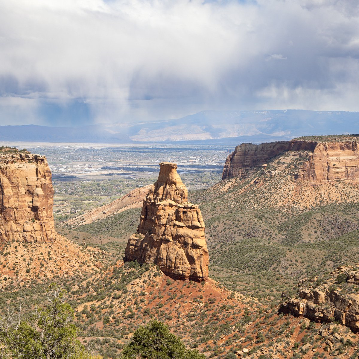
Independence Rock

“At night when the streets of your cities and villages will be silent and you think them deserted, they will throng with returning hosts that once filled and still love this beautiful land. The white man will never be alone. Let him be just and deal kindly with my people, for the dead are not powerless.

Dead—did I say? There is no death, only a change of worlds.”

Chief Seattle, translated by Vi Herbert

Revisits: "We shall not cease from exploration"

Last week we travelled to St. Louis: a revisit to a favorite city. And the trip included meeting my friend who introduced me to St. Louis when we were in college. She mentioned that each semester she still teaches The Love Song of J. Alfred Prufrock. I studied that poem by St. Louis-born T. S. Eliot while in college, and so now needed to go back and revisit the poem.

Evening, Bosque del Apache National Wildlife Refuge, New Mexico

Let us go then, you and I,

When the evening is spread out against the sky

Like a patient etherised upon a table:

T. S. Eliot, The Love Song of J. Alfred Profrock 1917

That’s how this weird, wonderful poem begins. My anthology perfectly describes that opening:

“With the third line of ‘The Love Song of J. Alfred Prufrock,’ the romantic mood set by the opening couplet collapses, and modern poetry begins.” The Oxford Book of American Poetry.

Snow Geese, Bosque del Apache

Do I dare

Disturb the universe?

In a minute there is time

For decisions and revisions which a minute will reverse.

T. S. Eliot, The Love Song of J. Alfred Profrock 1917

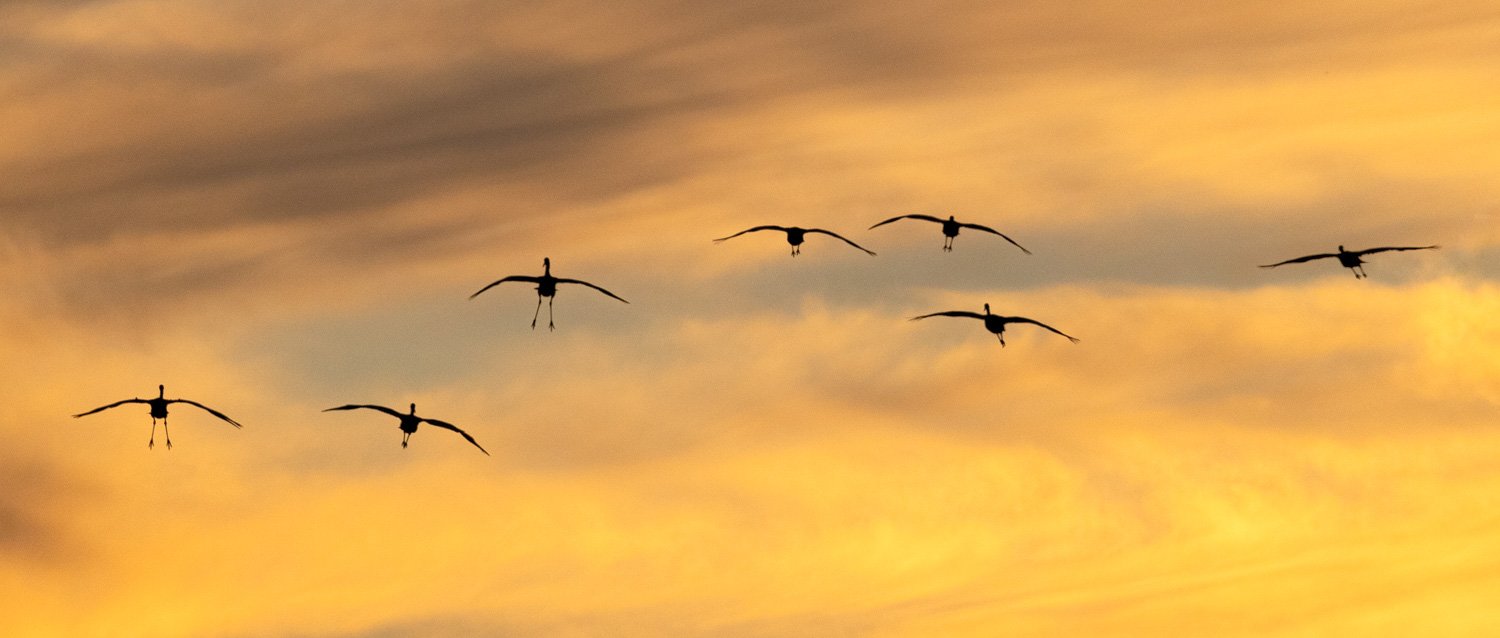
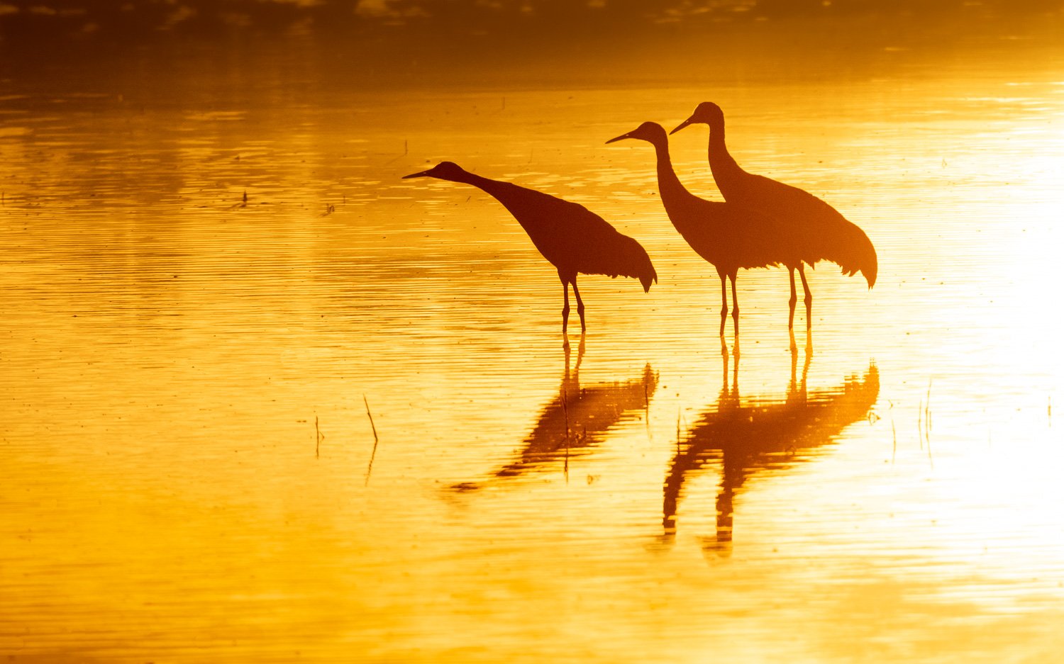
The images are from a favorite place I revisited last November: Bosque del Apache National Wildlife Refuge in southwest New Mexico. Thousands of Sandhill Cranes and Snow Geese revisit and gather there along the Rio Grande for much of the winter.

Sandhill Crane sunset, Bosque del Apache

Eliot wrote Prufrock during World War I. He moved to England and wrote Little Gidding in 1942 during the terror and uncertainty of the next World War.

What we call the beginning is often the end

And to make an end is to make a beginning.

The end is where we start from.

Bald Eagle, Bosque del Apache, New Mexico

We shall not cease from exploration

And the end of all our exploring

Will be to arrive where we started

And know the place for the first time.

Through the unknown, remembered gate

When the last of earth left to discover

Is that which was the beginning;

T. S. Eliot, Little Gidding 1942

Sandhill Crane family, Bosque del Apache sunrise

Prairie Dock Walk

I’ve been trying to plant native prairie species in my yard. One that has really thrived is Prairie Dock. This time of year, stalks eight to ten feet tall shoot up with flowers that bees love.

As I’ve noted before, we are fortunate to have a small patch of original prairie nearby. The strip of land was preserved because it was between two rail lines. The train lines are gone, and one has been transformed to the aptly named Illinois Prairie Path. It’s time for the late summer flowers to bloom, including Prairie Dock. Join me to see some showing off on a recent morning walk. We’ll start with another Prairie Dock in bloom.

Yellow is the overwhelming color in bloom now including the wiry coreopsis.

coreopsis tripteris tickseed prairie wildflower

Of course, this one’s so yellow it’s named Goldenrod, and this one has lots of pollinators walking among the blooms.

asteracease solidago goldenrod illinois prairie

But not all is yellow. Unlike Goldenrod that needs bees and other allies to pollinate, Ragweed pollen just blows in the wind to the annoyance of allergy sufferers.

ambrosis trifida giant ragweed illinois prairie

The final one to get a photo taken on this hike is a plant with the Latin name Gaura, but as the other approaching friend seems to say, it’s more common name is Beeblossom or Evening Primrose. Hope you enjoyed the walk.

biennial gaura "guara biennis" illinois prairie

Sandman's Sounds of Silence

Photographers play with light. However, being in nature when capturing an image involves playing with sound. How can a photographer convey sound? I suppose viewers add crashing when looking at waves, chirping when seeing bird images, or buzzing with bee pictures. And silence?

Great Sand Dunes National Park, Colorado

I posted some images from Great Sand Dunes National Park in April just after Chance and I spent the night there. One of my strongest experiences and memories from Jane and my visit there in 1983, was the silence when hiking up the dunes. With no wind there was no sound. No sound except hearing your heart beat!

Some of my most indelible memories in national parks are of sounds. The startling, somewhat frightening, blare of elks trumpeting at Fossil Butte National Monument under the Milky Way. The clicks and flaps of bats flying just feet overhead at Carlsbad Caverns National Park. The chorus of frogs and insects that made me want to listen and not sleep while camping along the shore of the river at Obed National Wild and Scenic River.

The National Park Service has an entire division called Natural Sounds and Night Skies. The NPS was created in 1916 through passage of the Organic Act. The Park Service summaries that law:

The Organic Act establishes and authorizes the National Park Service "to conserve the scenery and the national and historic objects and the wildlife therein and to provide for the enjoyment of the same in such manner and by such means as will leave them unimpaired for the enjoyment of future generations." For NPS, the acoustic environment or soundscape of park units is considered a park resource requiring the same level of protection as any other resource (air, water, wildlife, cultural resources, etc).

Several years ago, I posted about one of my most fortunate and amazing encounters while hiking in the Hoh rainforest at Olympic National Park. It started with sound. I was photographing a woodpecker while listening to it hammering into a tree, calling, and flying. In the distance I heard someone walking—the first and only persons I’d encounter hiking on that trail. Looking in the direction of the sound, the first vision was startling: the man had a human head atop his tripod. You can follow the link above to see how the encounter went.

After meeting Emmy winning sound recordist and ecologist Gordon Hempton, I bought his book One Square Inch of Silence. One chapter of the book includes a trip he took with poet Jay Salter among the red rocks and rock art in Utah’s Canyonlands National Park. He quoted Salter:

“I’ve always been interested in sound in poetry, not just rhyming, which can become singsong, but working with the vowel or consonant shape of the sounds and how you can string them together. . . When we were an earlier culture we were more in tune with the sonic aspects of literature, of poetry, of song. . . . I’m very obsessive about finding poets who really honor the experience of the land. . . I think a lot of that is missing from modern poetry because we’ve lost a connection with place, a connection with land—the kind of connection we’re feeling here tonight, with the wind rustling here through the tamarisk and the willow. . . The light’s starting to die and we’re becoming aware that we are going to be in this place without any light, without any streetlights. We’ll have moonlight, but it becomes a totally different world that we have to be attentive to and listen to. It has its own rhythm.”

Gordon Hempton, One Square Inch of Silence pgs 148-149 (2009).

In my Travel Tuesday posts I wrote about Ancestral Puebloan rock art and Craig Childs’ book Tracing Time. In searching for petroglyphs and pictographs in the Colorado Plateau, Childs shares a secret that he pays attention to the acoustics of the land. He has discovered the rock art is often plentiful where sounds also concentrate. Hempton notes that Salter, who is also a sound recordist, makes a connection with this ancient rock art:

“But what I experience here has to do with that life-changing experience I had listening to the sounds that first night I was here. This is very hard to describe, but—this rock is so old and it’s so beautiful. There are paintings on it done by people who lived here, connecting with the land. The rock is red, the color of flesh, and it was flesh for the people who lived here. . . I find it inspiring to return to a place where I can find art, I can find evidences of a people who lived in a very direct way, and where I can find few evidences of the modern world. . . It’s enlivening, it’s awakening to be here, to be relying on these capacities which we don’t often get to use in the civilized world. Especially our senses. We’re using our senses all the time out here. . . So when I started recording here six years ago, I went back to try to capture, as if I was doing a petroglyph, my experience of that moment, with all the things that were funneling into it: the cycles of the weather, the day and night, the season, the animals’ movements. All of these things that are increasingly rare and more and more endangered, I find here in plentitude and I’m renewed, apprehending them, in all the senses of the word apprehending.

Gordon Hempton, One Square Inch of Silence p 149 (2009).

Late Summer -- Midwest

I think the prettiest time in the Midwest is late summer when the prairie flowers are most intense, and the light is lower in the sky which is often filled with clouds. Soon enough the intense color of autumn will be here, but for now the longer show of late summer will be on display.

Ironweed and Gray-headed coneflowers

Not far away is the restored prairie at Mayslake Forest Preserve that Chance and I frequently visit. (I posted about our first visit there two years ago —and here.) A few weeks ago, a volunteer was crawling among these plants collecting seeds. She said how much the prairie has diversified over the last couple decades as the county has worked on it. In that prior post I had images of the spectacular Rose Mallow that blooms here in August. Recently, ducks and this Great Egret seemed to enjoy the blooming flowers on shore.

Rose Mallow and Great Egret, Mayslake Forest Preserve

Last weekend we visited Newport State Park in Door County, Wisconsin. One trail leads to the shore of Europe Lake that many kayakers were enjoying.

In the grass Salsify globes were ready to send their seeds into the wind.

Salsify

And woodpeckers were busy in the trees.

Red-bellied Woodpecker

Last summer, I posted about the new Daniel Popper exhibit at Morton Arboretum — Human + Nature. He’s recently added three more sculptures to the five that went up last year. He says this one reflects on the sounds there.

Ephemera by Daniel Popper

His smallest new piece is right by the entrance, and the one hundred gingko leaves commemorate the 100 year celebration of the arboretum. If you have time this weekend, you can stop by to see Human + Nature and enjoy the Wine and Art Walk where our friend Pat will be exhibiting some of her fabric art. As I write this, right over my shoulder are some of her flowers that can take me right back into a walk in the summer prairie.

Gingko

Hidden ravine time travel

I’ve missed some Friday posts for a variety of reasons, but one was that I was traveling two weeks ago. One stop was to a well-hidden nature preserve in southwestern Illinois with a secret.

Driving through farm fields not far from the Mississippi, GPS tells me to turn into a hidden parking lot where there’s finally a sign to acknowledge I’m in a state protected nature preserve. While it warns of 24 hour surveillance, there are no clues of the treasures down the trail. Soon the trail turns up other rewards of plenty, flavorful blackberries to enjoy while heading down into the ravine.

Some cairns mark where to cross the creek and where to look up to the cliff on the other side.

You might have read my recent stories on the Tuesday Travel blog page of my encounters with ancestral Puebloan rock art in the Southwest. A little searching reveled a collection of 150 pictographs and petroglyphs along a cliff panel that are the largest remaining collection of rock art in Illinois.

The images of curved or geometric lines, deer, birds, anthromorphs and other objects date from the Late Woodland (450-00 C.E.) and Mississippian periods (900-1550 C.E.) I was surprised that even in this more humid climate than the Southwest, the images were still in good shape.

Some well-intentioned, but misguided viewers have sought to enhance some of the images with recarving or chalking, but that is not nearly as disturbing as the vast number of others who have carved their own names or images near, or even more disturbingly on top of the images. However, the images retain their power and speak across the centuries despite the disturbance around them.

Next to the cliff lies a large boulder with many images incised into it. Many are covered by lichen and moss. The area was apparently a popular picnic spot and Sunday school outing place in the late 19th and early 20th century, and those folks left their marks. One would hope such invasions were in the past, but a bold name was carved with a date from June 2022.

Time to cross back over the creek, and leave hoping the treasures can survive.

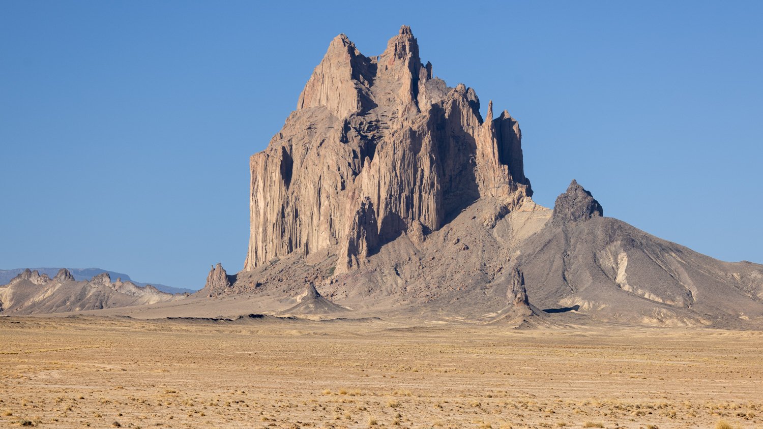
Shiprock, Navajo Nation

One place I had to visit on my trip to the Four Corners was Shiprock in northwest New Mexico. It had resided in my imagination for decades. I’d seen many images. It had been in several books—including the Joe Leaphorn/Jim Chee series by Tony Hillerman. (There’s an excellent adaptation on AMC right now called Dark Winds.)

The ancient volcanic plug is a holy site for the Navajo. I first saw it probably 50 miles away as a ghost on the horizon when I camped in Colorado at Hovenweep National Monument, and wrote about the view that day. When I eventually drove to it, there was a long route that would get me closer, but I chose a shorter, dirt roadway by GPS. I passed many reservation residences and hogans. Eventually, the route came to a wash that I was not willing to try to get across. So I settled for a more distant view.

Shiprock from drone

I first heard of Shiprock through the stories of Murray Bodo, OFM. He was a high school English teacher in Cincinnati of my friend and college roommate. I had the pleasure to meet him several times. As the Navajo find sacredness in the presence of Shiprock, so I found it in his presence. Fr. Bodo follows the tradition of his order’s founder and is an extraordinary poet and writer.

From the Lukachukai Mountains you can see the land. The desert stretches below you on all four sides and to the north Shiprock stands at anchor in the still brown sea. When I was a boy, my father and his fishing buddies and I would speed past Shiprock almost every weekend on our way to the cool Colorado trout streams. I had never seen the ocean or a sailing vessel, so Shiprock became my frigate on the high seas and I would fire a volley past her bow from the back seat of our Chevy while my father and his friends talked of fishing.

When we returned to Gallup every Sunday night, I would wait excitedly for Shiprock to come into view once again. I would adjust my spyglass and scan the emptiness for her. And then she would suddenly emerge like a submarine surfacing on the horizon. I would prepare the men for the attack and caution them to wait until we were as close as possible before we commenced firing. It was great fun always, and Shiprock became my private pirate ship on countless voyages across dry, waveless seas of sand.

Murray Bobo, OFM, Walk in Beauty, 1974

Shiprock, Navajo Nation

Today, as I drive slowly, meditatively on Route 666, looking at Shiprock, I realize my whole life has been a movement away from and, paradoxically, toward this rock that rises out of the desert like the ship that it’s named for. It sails fixed in place and time, the water now turned to desert sand. It endures, anchored where I find it over and again on the interminable voyages I take to and from the mother ship. Our origins are like that. We leave them and travel in ever-widening circles away from them. They continue to hold us in their circumference like the hub of the wheel we spin circles around. We break the circle from time to time and turn, return, to the hub that is there unchanged though we have changed and continue to change.

Murray Bodo, OFM, The Road to Mt. Subasio, 2011

About the time that book was published, Fr. Bodo spoke nearby, and I got to see and hear him again, and simply be in the presence of a holy man. If of interest, you can find his works here: MurrayBodo.com

Murray Bodo, OFM

Friends along the way

On our trip to the Southwest, many souls greeted us along the way. As I plotted the trip, I noticed a national wildlife refuge near the route in Kansas, so it became a sunrise stop.

President Theodore Roosevelt established the first national wildlife refuge at Pelican Island in Florida in 1903. Today, over 150 million acres are designated as NWRs, and it is one of the best funded agencies, in part because contributions by duck hunters and other sportspeople. It was a bit surprising to see lots of birds I was familiar with from the Florida coast enjoying the wetlands of central Kansas.

Lesser Yellowlegs and Blue-winged Teal

Wetlands were a surprisingly large component of the Great Plains until agriculture interests sought to tame and reduce them. Some farmers are reversing the trend, but protected public lands still are the major sources of wetlands.

Least Sandpiper, Quivira National Wildlife Refuge, Kansas

The day before we stopped at another fragment of what had once been the dominant feature of North America. Prairie once covered 170 million acres of what is now the U.S.. Within a generation, most was gone. Less than 4% remains.

Bison, Tallgrass Prairie National Preserve, Kansas

In 1996, the National Tallgrass Prairie Preserve was created to help protect nearly 11,000 acres. While the National Park Service manages the land, nearly all is privately owned, most by the Nature Conservancy. Pets are restricted to certain areas—in part to stay away from bison—so we were surprised when these fellows were on the trail. Chance wanted to herd them, but he stayed on the leash and we gave them a wide margin. We saw several Northern Harriers hunting across the hills.

Northern Harrier, Tallgrass Prairie National Preserve

Bent’s Old Fort National Historic Park preserves the 1840s trading post that was on the Santa Fe Trail. The fort is exceptionally dog friendly, and it seemed every ranger working there owned a dog, and Chance had to meet every one of them. Not quite wildlife, but both Chance and I jumped when we turned a corner and this fellow yelled at both of us.

Bent’s Old Fort National Historic Site, Colorado

Plenty of bird songs accompanied us on the trails at Bears Ears National Monument. Most were down in the washes where trees, reeds, and other vegetation provided cover, but many perched in the nearby scrub.

White-crowned sparrow, Bears Ears National Monument, Utah

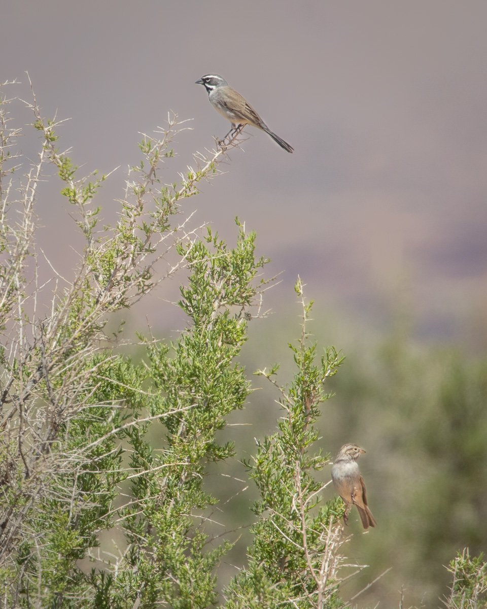
Black-Throated and Brewer’s sparrows, Bears Ears NM

Chance’s favorites on the trails, however, were the lizards who darted between rocks and under roots.

Collared Lizard, Bears Ears National Monument

As with Kansas, I was surprised by the beautiful areas in Oklahoma. Black Kettle National Grasslands surrounds Washita Battlefield National Historic Site. Chief Black Kettle was present at the Sand Creek Massacre in Colorado in 1864 where 150 to 200 Cheyanne were slaughtered. He rescued his wife who was shot nine times. Both of them would be killed by George Armstrong’s troops at Washita creek in 1868. The bird songs are a haunting chorus through the battlefield site.

Dickcissel, Washita Battlefield National Historic Site, Oklahoma

Rockin' the Rim at Colorado National Monument

I wish I could remember who told me several years ago to visit Colorado National Monument. If it was you, let me know!

After dropping Jane off for her flight back to Chicago following several days of travel in New Mexico and Colorado, Chance and I headed toward Utah. First, on that earlier recommendation, we took a trip through Colorado National Monument near Grand Junction on the western edge of the state.

Ute Canyon, Colorado National Monument

This would be a quick visit across the park on the 23 mile Rim Rock road. Entering from the southeast entrance, one of the first great views is down Ute Canyon. I was fortunate to be there with great light and skies.

Highland viewpoint

One of the features pointed out at this stop is the large piece of the canyon wall that slipped off and stayed more or less upright. See it?

Coke Ovens view

These sandstone domes resemble the coke ovens early miners built to convert coal into coke which in turn was used to convert iron to steel.

Brushy Basin Member

This formation is made of mudstone. In a few days, I’d be driving through more colorful types of mudstone called bentonite. You can get a sense of the size of this formation if you can spot the car.

Independence Rock

This feature near the northwest part of the park is one of its most identified landmarks. This view is made into a diorama of high desert plant and animal life at the Natural History Museum in New York City. A couple days after my visit, a man fell to his death trying to climb this rock.

Driving back down to the plains off of Rim Rock Road, the dramatic rocks were gone, but the distant storms made up for it.

De-Na-Zin

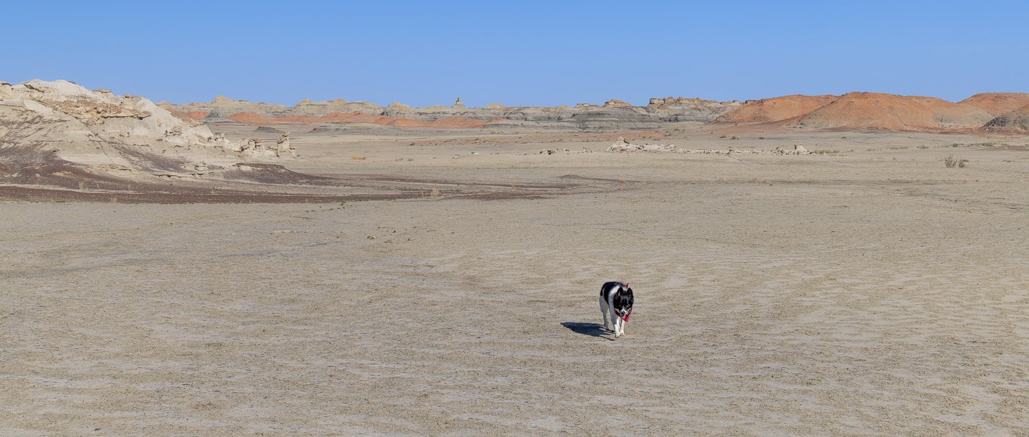
In northwest New Mexico, adjacent to the Navajo Nation lies the Bisti Badlands in the De-Na-Zin wilderness. De-Na-Zin is the Navajo term for cranes. Few signs point to this remote area protected by the Bureau of Land Management, but after going through a fence near a parking lot, you hike across a featureless, barren plain with some red clay hills in the background.

No trails mark the way to the hoodoos, spires, capped rocks, petrified wood, and even features called alien eggs. After about a mile, you walk through some of the red hills and the dark lines of coal seams.

Soon, the odd, eroded features seem to grow out of the land.

Often the hoodoos and other features are formed when a harder rock erodes slower than the sandstone below.

Chance thought they were made for dramatic poses.

And one might’ve even been a dog itself.

One area was filled with groups of rounded, boulder-like rocks called alien eggs. Many look as if they’re ready to hatch what they’ve held for eons.

While the area now is barren, with only small bits of vegetation scattered about, there is evidence of the ancient forests that were once here. Many small bits of petrified wood are on the ground and occasionally long trucks lie on the ground.

After exploring around the badlands, it was time to head back around the red hills toward the car.

House(s) on Fire

I generally focus on nature images in this photo blog, but while today’s subject is human made, it fits so well into its setting it seems a part of the natural environment.

House on Fire, Bears Ears National Monument, Utah

These granaries were built under the cliff to store food in this harsh environment to store for hard years. Harvests are completely unpredictable, but the Ancestral Puebloans maintained a population in the Four Corners area larger than there is today by living sustainably in this desert. This site is up Mule Canyon on Cedar Mesa. The spectacular streaks of desert patina and the flaked sandstone give the wonderful appearance of flames. I can image the builders being quite proud of the beauty of this creation for storage.

Stepping back provides a very different view. I visited in the late afternoon and as you can see, I was waiting for the sun to get lower in the west to light up roof. Unfortunately, the clouds got heavier, and the sun less intense and the light show didn’t occur. Still, a remarkable site.

Unfortunately, these were not the only flames on this trip. One reason to plan this trip in late spring was to avoid fires. It didn’t work.

Bent’s Old Fort National Historic Site, Colorado

This site was closed the week before I arrived because of this fire. There were still fire crews working blazes nearby. Fortunately, the 1840s reconstructed Santa Fe trail trading post was unharmed, but all trails were still closed as they assessed damage. The ranger said the old oak tree in front would need to come down since it is next to the trail approaching the fort. The hawk who sits sentinel there will need a new home.

Cerro Pelado fire, Santa Fe National Forest, New Mexico

Even in late April, the New Mexico news was dominated by fires throughout the state. When I returned in early May, I checked websites and discovered by plan to visit Valles Caldera National Preserve would not occur because it was closed due to this fire. Instead, I visited nearby Manhattan Project National Historic Site in smoky Los Alamos, and Bandelier National Monument on the east side of this fire. Fortunately, the air was clear there when I visited, but it would soon be closed for three weeks as the wind shifted and the fire got closer. The fire is nearly contained, but it is still burning in June.

Pronghorn

Of course, wildlife and ecosystems are used to fire on the prairie, but they face enormous challenges in the catastrophic changes occurring. The front page of today’s New York Times has graphics and images of the conditions in New Mexico of extreme drought and rising temperatures. As I crossed the northeast corner of the state, I had to go around the Hermits Peak and Calf Canyon fires. They have now joined and are the largest fire in the state’s history. I visited Pecos National Historic Park on the west side of the fire, but it soon closed for two weeks due to fire risk and has reopened but closed its trails.

Fort Union National Monument, New Mexico

Massive Fort Union was the largest outpost on the Santa Fe Trail. A civil war battle was fought here, but its growth occurred following the war to support the travelers on the Trail and to be the logistics center for Indian removal throughout the southwest. The image above is of the ruins of the massive supply buildings and are reminders that the genocide of Native Americans was a huge, coordinated effort.

Officer quarters, Fort Union NM

The Calf Canyon fire, as the others, started from prescribed burns meant to reduce fire risk. The others quickly got out of control, but this one silently burned since January and once merged with the Hermits Peak fire has consumed over 350,000 acres. And is still burning. Fort Union closed for a couple weeks, but has reopened with fire restrictions. Reaping what was sown.

Valley of the Gods

On the Navajo Nation along the Arizona-Utah border lies Monument Valley. Its iconic Southwest movie backgrounds have places names such as John Ford and Forest Gump points. Just north, is a smaller version of red sandstone monoliths and buttes named Valley of the Gods.

Cedar Mesa and Valley of the Gods

The area is now the southwest corner of Bears Ears National Monument. We arrived in the late afternoon with the mist silhouetting the buttes rising to Cedar Mesa in the west. The next morning we drove up a bizarre, twisting road called the Moki Dugway to get to the top of the Mesa. The next image is from that road looking back down into the Valley again backlit by the sun.

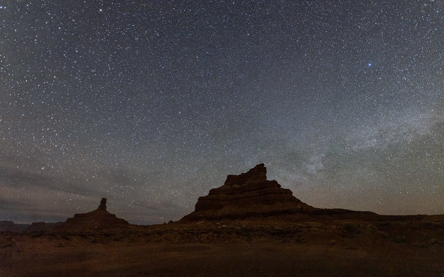
We camped below a feature named Sitting Hen Butte. It’s hard to appreciate the size of it in the first drone image below, but in the second you can compare the white boulders to the size of my car in our campsite.

Cracked eggs below Sitting Hen

In the next image, the drone is above Sitting Hen and looking toward its companion Rooster Butte. As a drone novice, I flew the drone behind Sitting Hen and lost the signal. Fortunately, the drone is smarter than I, and after a few minutes of worry, returned to the nest.

I’d chosen the site below the buttes in hopes of a foreground for a night sky image with the chickens on their roosts.

In the early morning, more clouds were forming as the sky began to brighten.

We got back on the seventeen mile road that winds through the valley to get some images in the early morning light.

Though Monument Valley has served as a backdrop of many movies, Valley of the Gods seems to have much fewer scenes. Apparently, a couple Doctor Who episodes were filmed here. In one of the most bizarre movies ever, John Malkovich starred as the world’s richest man in the 2020 movie Valley of the Gods in which he buys the place for mineral exploitation. You can watch it on Amazon Prime—or at least the first 5 minutes which has some nice images of the Waterfold Pocket and Cathedral of the Sun in Capitol Reef, the Moki Dugway, Valley of the Gods, Shiprock Butte (on which Malkovich’s character builds his estate), and the Goosenecks which is just on the other side of Cedar Mesa. The next picture is just where the actor stands, and I could tell how their drone flew to avoid showing the railing I stood behind to take this shot.

Goosenecks State Park, Utah

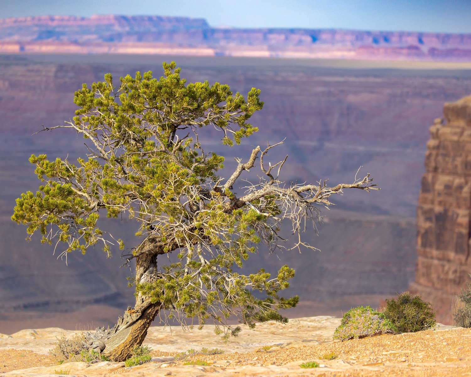
The meanders of the San Juan River provide a dramatic site at Goosenecks State Park, just a short way upstream is the Muley Point overlook of the San Juan in Glen Canyon National Recreation Area. Within a thirty mile drive are a remarkable collection of sites — Valley of the Gods and Cedar Mesa, Bears Ears National Monument, Moki Dugway, Muley Point, Glen Canyon, Goosenecks State Park and in the distant view—Monument Valley.

Muley Point, Glen Canyon National Recreation Area, Utah