Hunters and foragers travelled by sea and populated the islands off Scotland for millennia. In the 4th Millennium BCE, seas were rising, and people of the Western Isles were farming. Sometime between the 29th and 26th centuries BCE, before the great pyramid was built in Egypt, before Stonehenge, they constructed a stone circle over the seaport on the west coast of the Isle of Lewis with nothing but the Atlantic beyond.
Calanais Standing Stones, Isle of Lewis, Outer Hebrides, Scotland
The tall, center stone rises 16 feet above the low hill with lower stones spreading out in a large circle and then avenues of stones beyond. A burial chamber rests below the center stone. Wooden structures likely covered some of the area between the stones. Smaller stone circle were built throughout the area. The purposes of the stones faded, and after centuries of abandonment, they began to disappear under the thick peat that grows over much of Lewis. The sea level dropped over the millennia, the port disappeared, the sea loch slipped away and the open ocean hid somewhere beyond. The Gaelic name of Calanais also faded from much memory replaced by the Anglicized “Callanish.” The reason for the complex disappeared under the peat.
Callanish Standing Stones over East Loch Roag
In the 1980s, the site was closed for restoration due to visitors wearing down the dirt, and a detailed archeological study began. The soil, pollen, seeds, clay, and artifacts began to reveal some of the stories of people who lived here. The full, detailed report can be read at the Historic Environment Scotland website. Did the site serve a religious, political, or some other group purpose? Did the tallest stone serve as a signal to ocean sailors — the primary method of transportation of that time? Could the stones have served for astronomical observation? Like the distant ocean, the answers are beyond clear sight.
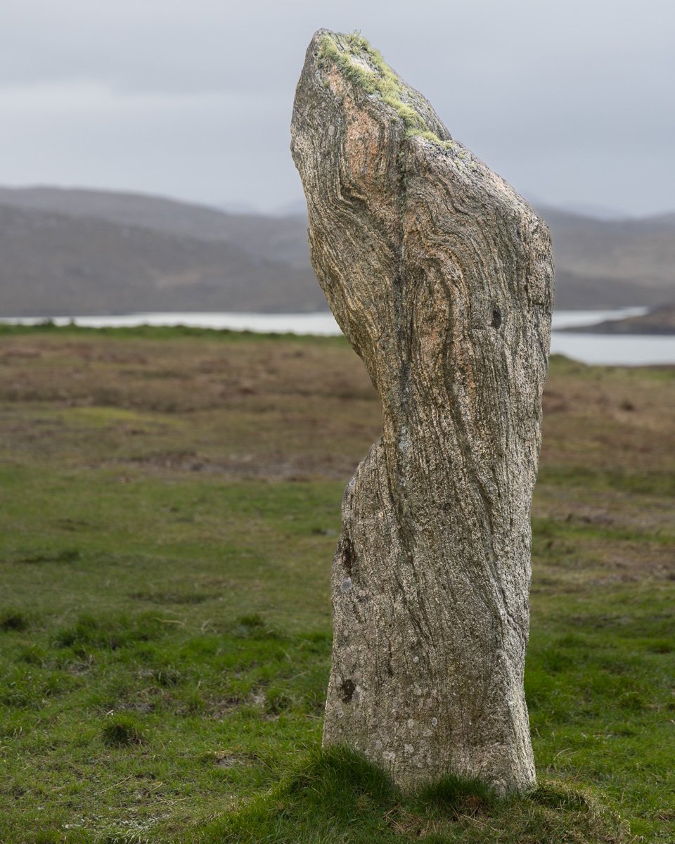
The stones seem to have come from a relatively close location. Among the few things known with certainty, the stones are Lewisian Gneiss, and at 3 million years old, among the oldest rocks on the planet. Beautiful, and almost looking alive while holding within the stories of the people who placed them here.
Lewisian Gneiss
The island is a single body, but the rolling, boggy north part of Lewis, transforms into the rugged, mountainous southern portion named Harris. I’d seen pictures of a single standing stone on Harris that leaned at a notable angle. While shooting the west coast at sunrise, a white reflection on a distant hill caught my eye. A fulmar flying over may help you spot it.
Bagh Steinigidh, Isle of Harris
That evening, we went to another shoot on a beach on the other side of that hill. Three of us decided to climb over the hill and search for the Macleod Stone. We found an opening in the farmer’s fence, and hiked down through the rocks on the top of the hill to spend some time with the standing stone.
Clach Mhic Leoid, or the Macleod Stone, Isle of Harris
Though this stone was erected nearly 5,000 years ago as well, no archeological dig has disturbed the site. Might there be evidence of other structures or burial sites? Did people farm and live here or was this set aside for ceremony. The mysteries remain.
As we approached the stone from the hill above, a couple were walking up from the beach with three collies in tow. Missing Chance, I got my fix of visiting and petting these pups while they enjoyed the ancient stone. Herding dogs would have been helpful to control the sheep and cattle who guarded the site when I visited standing stones on the Isle of Mull a few years ago. The animals, people, civilizations, and even the seas rise and fall while the stones stand watch.
Collies and Macleod Standing Stone, Outer Hebrides, Scotland


