A major focus of my trip to the Four Corners area was to explore the homeland of the Ancestral Puebloans. While it was a trip back a millennium, it also offered reflections on a century of change on how to appreciate these sites and respect the wishes and beliefs of the decedents of those peoples. A tiny, obscure national monument created in 1919 is in some ways a full circle of this last century.
Yucca House National Monument
Laying in the shadow of Sleeping Ute Mountain to the west and Mesa Verde to the east bubbles a spring named Aztec Springs in the erroneous belief that the structures laying in ruin around it were built by the Aztec people of Mexico, following the common 19th century understanding that no peoples of this region had the capacity to build such structures. An estimated 600 buildings including 100 kivas and one great kiva surrounded the spring. The rancher who owned this land donated the roughly ten acres of the pueblo to the federal government. President Wilson declared it Yucca House National Monument to avoid naming confusion with nearby Aztec Ruins National Monument.
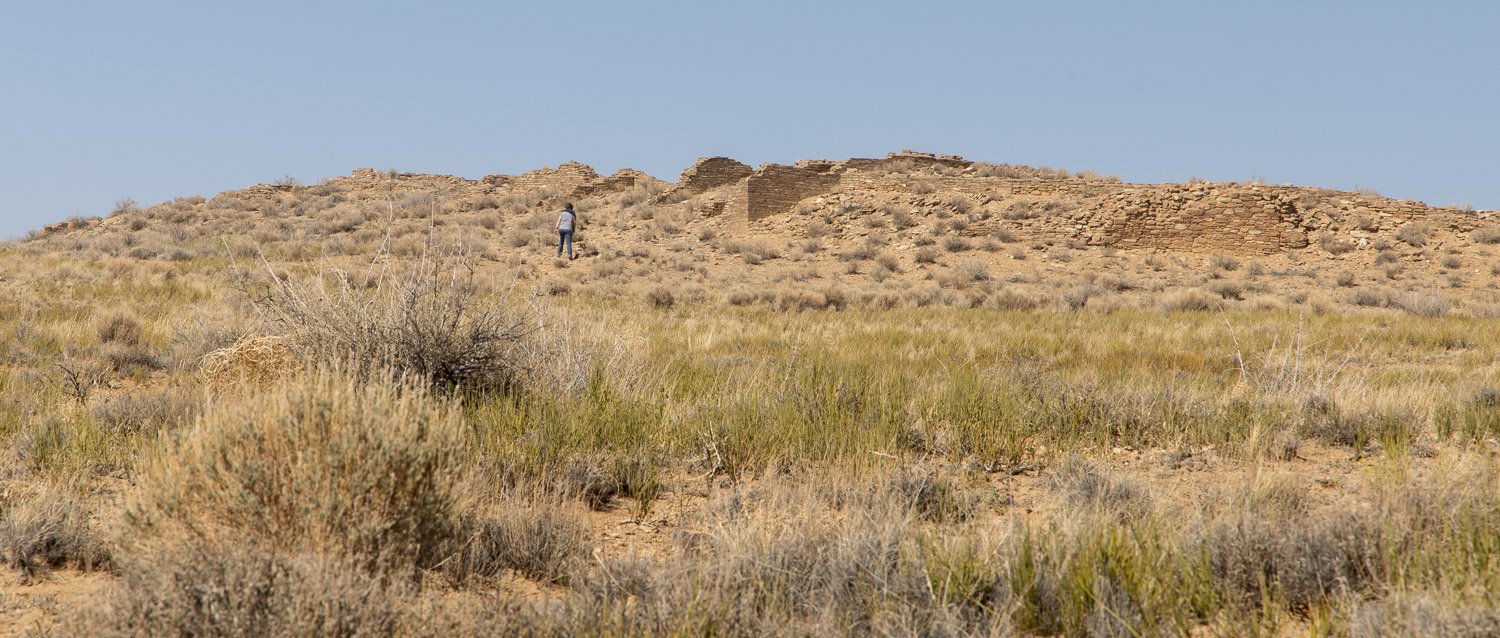
A visit today is little different then one might have been in 1919. You drive through a large ranch stopping for some of the hundreds cows and calves crossing the open range road, park near a small gate to keep the cattle out and enter the scene above. In 1964 a crew exposed and stabilized the wall shown above. While it had been the rancher’s hope in 1919 that the federal government would excavate and rebuild the site as was being done at Mesa Verde National Park, it remains as it looked a century ago.
Sand Canyon Pueblo, Canyons of the Ancients National Monument
North of Sleeping Ute Mountain are thousands of Ancestral Puebloan sites in Canyons of the Ancients National Monument. Sand Canyon Pueblo was about the size of Yucca House, but as was typical of 12th century communities, it was built around the edges of the head of a canyon. It had a wall surrounding the pueblo and fourteen tower throughout. Between 1983 and 1993, Crow Canyon Archeological Center in nearby Cortez, Colorado did a bit of excavation at the site and then reburied their work. (You can view many lectures and presentations by the Center by searching Crow Canyon on YouTube.) This practice respects the wishes of contemporary Natives who do not want their ancestors’ home disturbed. The site is well signed which helps visualize what the incredible village looked like 900 years ago while allowing one to feel the presence of people who lived here.
Pueblo Bonito, Chaco Culture National Historical Park
Chaco Canyon in northwest New Mexico may have been the religious, political, economic and cultural center of the Ancestral Puebloans, and Pueblo Bonito the heart. From this vantage on the mesa above, you can imagine the four story buildings at the back of the D-shaped great house. The wall in the center separating the plazas runs north-south and the wall on the south side aligns with the rising and setting sun on the Equinoxes. How much of this great house was lived in or was a ceremonial center remains a mystery. Similar though smaller great houses line both sides of Chaco Canyon, and more pueblos were built on the mesas above.
About a half mile behind the overlook of Pueblo Bonito are the mostly unexcavated remains of Pueblo Alto. At the peak of the late Puebloan period from about 850 to 1300 CE, more people lived in the Four Corners area then there are today. Now we ship in food, supplies and water. Then they lived off what the land provided in conditions much like today.
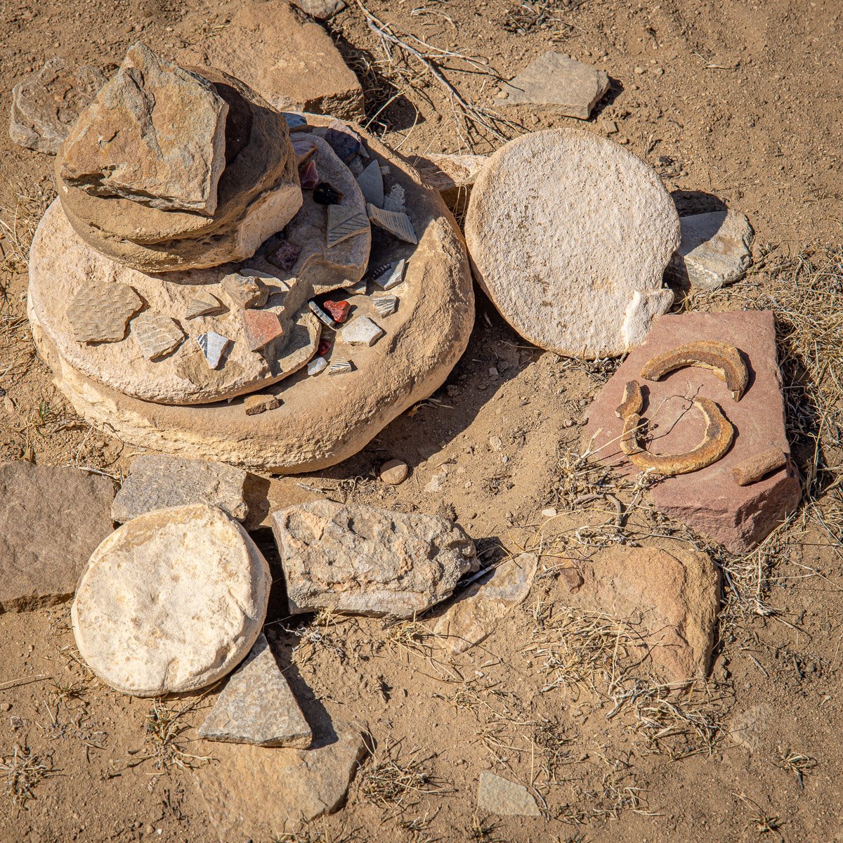
Chaco Culture National Historic Park is remote and a challenge to drive to. Most of the visitors who come stay in the canyon, so a hike up to the sites on the mesas won’t have many others nearby. A silent walk into the center of a kiva may show a collection of potsherds and tools left behind.
Comb Ridge is a steep, narrow monocline ridge running north south for about 80 miles in eastern Utah to Arizona. A rough road runs on the east side mostly along Butler Wash which parallels the rooster-comb shaped ridge. The ridge and canyons cut into it were home to many of the ancestors. For over a century, these people were referred to as Anasazi. However, that was a term used by the Navajo, who came to the Four Corners area from the northwest. The term meant “ancient enemies,” so the current Pueblo tribes of Hopi, Zuni, Acoma and Laguna prefer the term Ancestral Puebloan.
Cold Spring Cave, Comb Ridge, Bears Ears National Monument
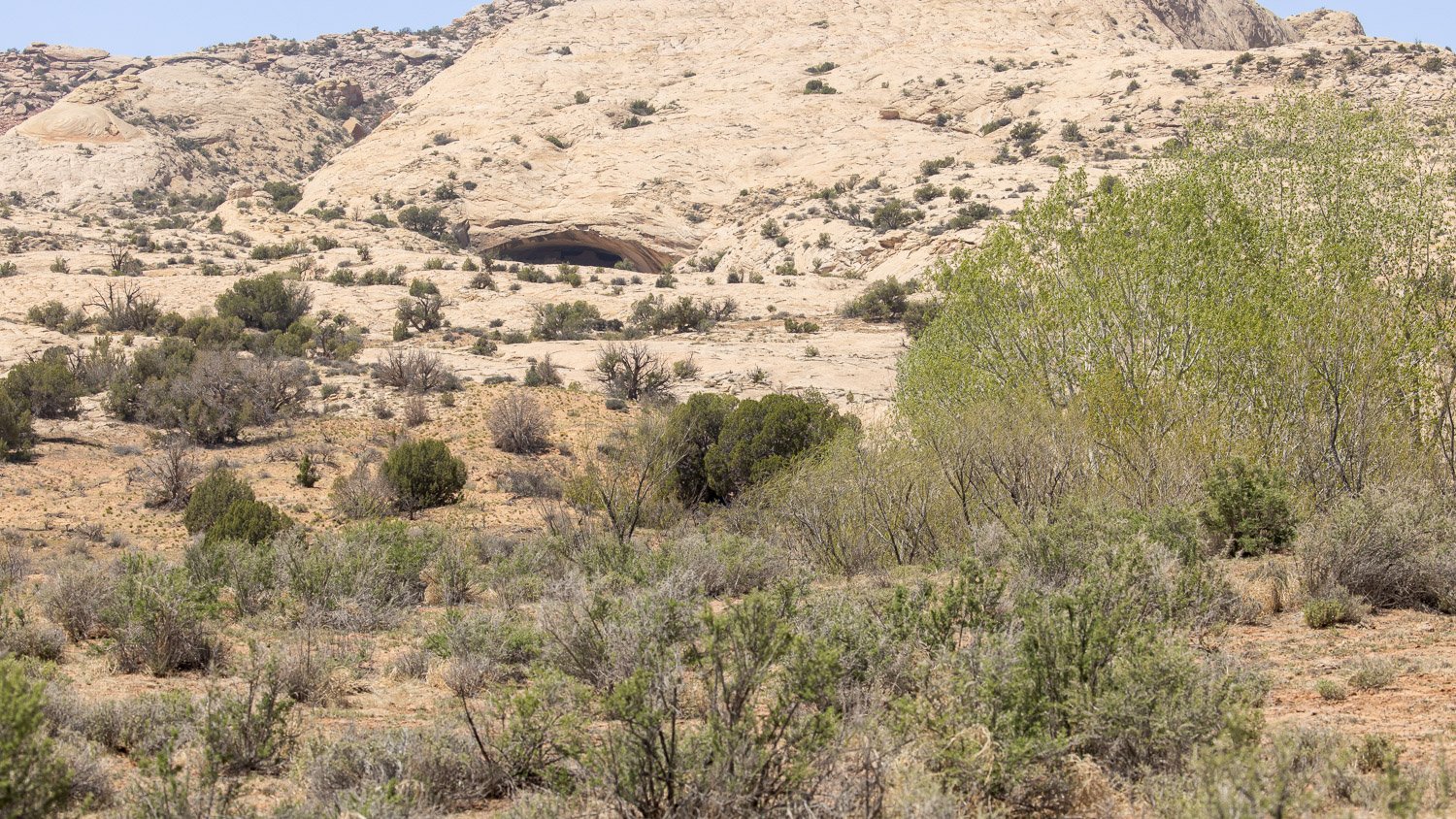
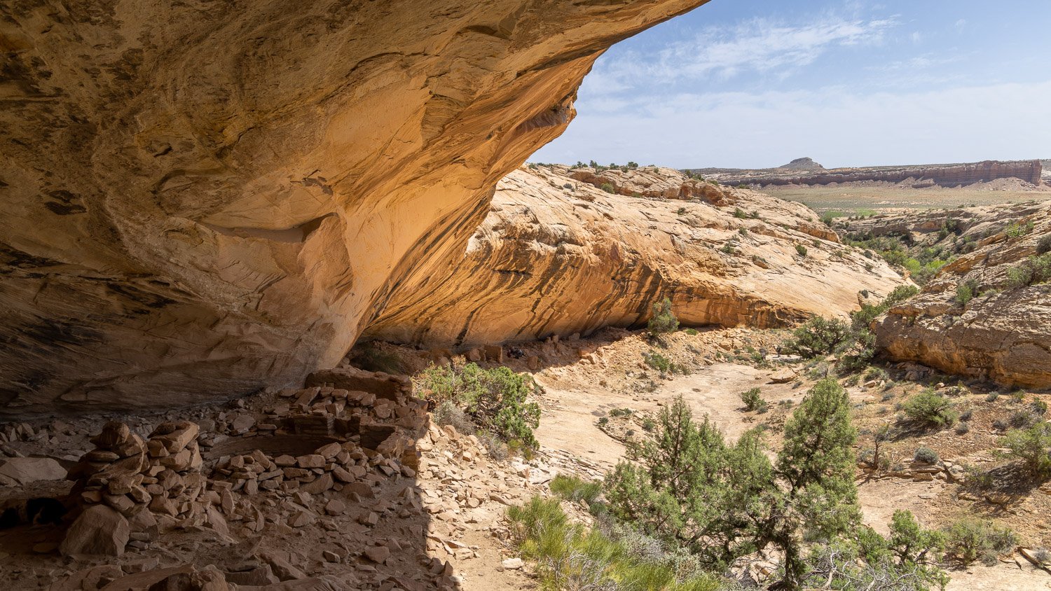
We met no one else on the hike down and up Butler Wash and across the slick rock to Cold Spring Cave. There, three visitors were having lunch and drawing the old structures in their sketchbooks. The Native people prefer these places not be called “ruins,” believing the sites are still inhabited by the spirits of ancestors. It doesn’t take much to consider them there looking behind an ancient wall to far, dark corner of the cave where moss hangs down and a quiet drip of water falls.
Their presence remains in the metates dug into the stone. Were different ones for different foods or different families? Did several people kneel along side each other talking and grinding meal? Remarkably, maize cobs remain behind. Petroglyphs speak from the walls, and some as this on the lower right, on the daily work surface. The walls also have pictographs of hands and other shapes, but those will wait for a future post.
From under the protective overhang the ancestors could be dry from the occasional rain, or cool from the nearly always present sun, or wonder as the stars rose over the eastern horizon. And maybe some were called from this location to head east and visit Chaco Canyon. Along the way, they may have stopped at what today is called Aztec Ruins, almost exactly due north of Chaco.
Great Kiva, Aztec Ruins National Monument
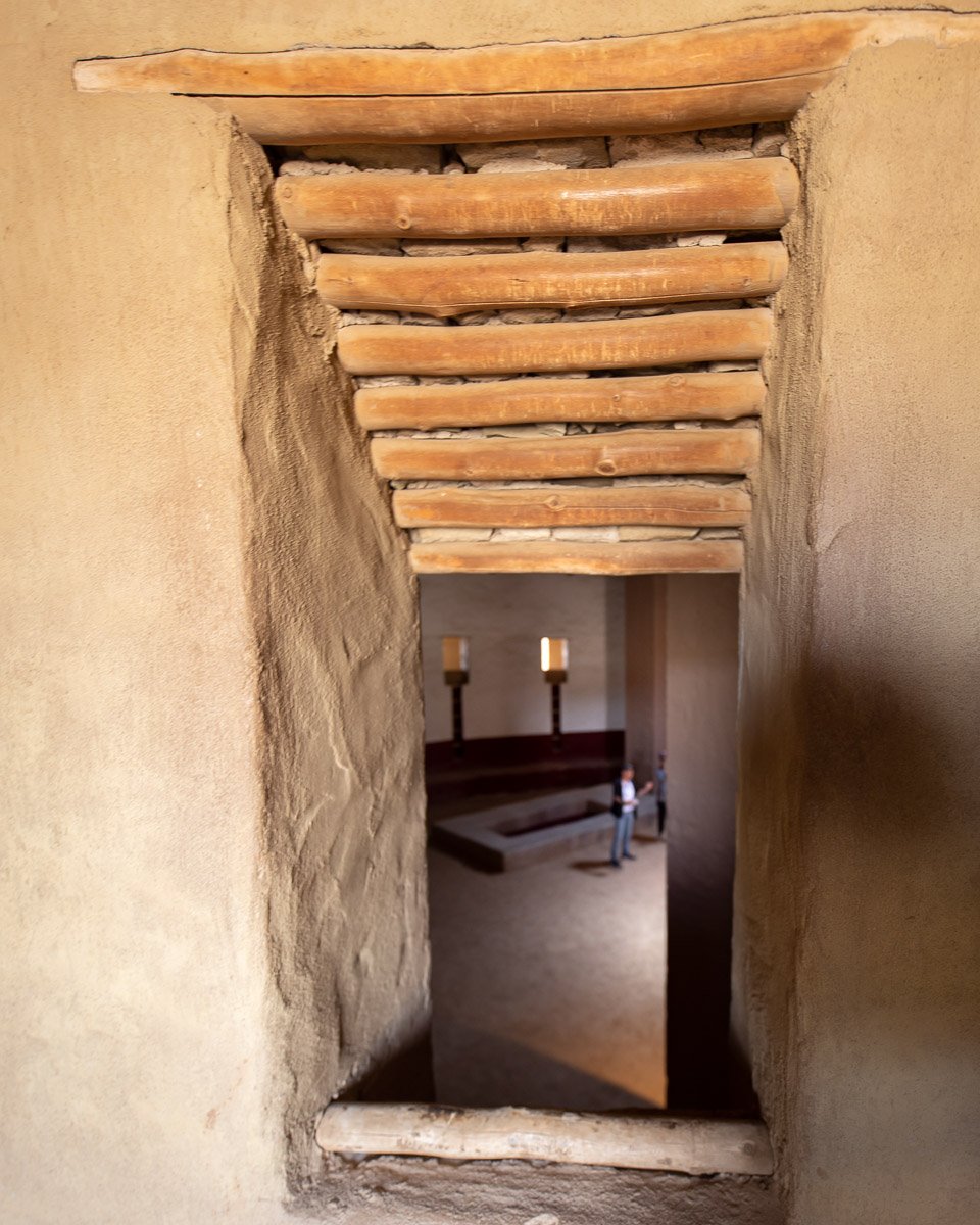
Recreating ancient scenes in your mind is a creative challenge. The scene pictured above wouldn’t be recreated today, but in 1934 archeologist Earl Morris reconstructed and rebuilt the Great Kiva at Aztec Ruins National Monument. The four pillars supported the massive roof. Next to the pillar on the right are the four stones originally found under the pillar to engineer support. The rectangular basins remain a mystery, but they may have been covered with wood planks and drummed or danced on to create a rhythm inside the kiva. It is believed people stood or sat on the floor, and the benches along the wall were reserved for ancestors. Likewise, it is believed most people entered the kiva through the hole in the ceiling, though perhaps some dancers entered through the doorways high on the walls or sat dressed as spirits to watch the proceedings inside.
The kivas were built honoring the six cardinal directions—east, west, north, south, up and down. They were built with the simplest stone age tools. They had no wheels to help transport the tons of massive timbers needed to enclose the roof that came from sixty to a hundred miles away. No pulleys were used to raise the timbers. The symmetrical walls were precisely built to align with celestial events. Still on the summer solstice, people gather in the kiva to watch the rectangular light from the east facing door to move up and along the wall to exactly fill in the bottom rectangle on the stairs below the west facing door.
The Antiquities Act was created in 1906 in large part to allow the president to establish national monuments by decree to protect these ancient sites that were being looted. Theodore Roosevelt used the Act first to protect natural features such as Devils Tower and Grand Canyon as well as ancient native sites. No president, until Donald Trump, used the Act to “unprotect” federal land. His massive reduction of Bears Ears and other national monuments, were reversed by President Biden.
Also in 1906, Congress passed another law to create the first National Park established to “preserve the works of man.” While the stars of Mesa Verde National Park are the Thirteenth Century cliff dwellings, the park has over 4,700 archeological sites from small farm dwellings dating from 550 CE to pit houses, pueblos and towers. The park presents an opportunity to experience the full story of the Ancestral Puebloans before they left the Four Corners to go south into Arizona, New Mexico and Mexico.
Cliff Palace, Mesa Verde National Park


